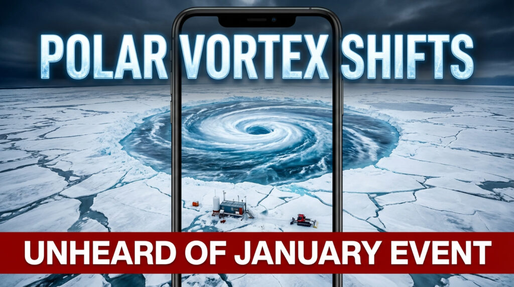
The maps looked wrong at first glance. Neon purples smeared across the Arctic, pressure lines knotted like someone had twisted the atmosphere by hand. A senior meteorologist summed it up bluntly on social media: “This is not your typical January.”
Weather watchers zoomed in, circled anomalies, reposted screenshots. Parents quietly wondered if school buses would even run in a few weeks. Travelers refreshed inboxes, half-hoping for that familiar subject line: Flight cancelled. Somewhere between the polar night and your front door, the atmosphere is loading the dice.

And this time, the setup isn’t just unusual. It’s pushing into territory meteorologists don’t see often.
A polar vortex that’s starting to crack
High above the North Pole, roughly 30 kilometers up, a band of fierce westerly winds usually spins like a cold crown. That’s the polar vortex. Most winters, it behaves. It keeps the cold bottled up near the Arctic and lets the rest of us argue about whether winter is “normal” or “mild.”
Right now, that discipline is wobbling.
Meteorological models are flagging a major sudden stratospheric warming (SSW)—a rapid temperature surge exactly where the polar vortex lives. Forecasts show temperatures in the stratosphere jumping 40–50°C in just a few days. Not at ground level. Not where you feel it yet. But up where large-scale weather patterns are born.
SSWs aren’t unheard of. They tend to happen once every few winters. What’s catching experts’ attention this time is the strength and timing. A warming this intense, this deep into January, is rare enough that veteran forecasters are pausing before hitting “post.”
When the stratosphere heats up that fast, the polar vortex can slow down, stretch out, or split apart entirely. Picture a spinning top that suddenly wobbles, sending shards of cold air spilling south. Not evenly. Not politely. But in jagged pulses that can hit Europe, North America, or Asia weeks later.

Analysts are already comparing notes with past events. Europe’s 2018 “Beast from the East.” The brutal U.S. cold outbreak of 2014. The patterns aren’t identical, but the echoes are there. The atmosphere looks primed for a shake-up that January doesn’t usually deliver.
What a disrupted vortex actually means for daily life
For most people, the polar vortex isn’t a concept. It’s a feeling.
It’s the morning when the air hurts your face. The night you hear the heating system cycling nonstop. The moment you open the curtains and realise the world has frozen into something unfamiliar.
When the vortex weakens, the jet stream above us tends to buckle into deep waves. Those waves decide who gets flooded with Arctic air and who sits under an oddly warm bubble. This is why forecasts feel jumpy right now. Small changes high above can flip outcomes for entire regions.
In Europe, past disruptions have pushed cities like Paris, Berlin, and London from damp winter gray into sudden deep freeze within days. Transport systems seize up. Supermarket shelves thin out faster than usual. In North America, similar events have delivered minus-double-digit temperatures to places built for “cool,” not dangerous cold—leading to frozen pipes, grid stress, and costly disruptions.
None of this is guaranteed. That’s the frustrating part. A vortex disruption doesn’t promise disaster for everyone. It raises the odds. It loads the dice.
Meteorologists describe it as a probability shift, not a forecast. Colder snaps become more likely. Longer freezes become possible. Sharp contrasts—snow one week, rain the next—become harder to rule out.
Why January matters here
Sudden stratospheric warmings earlier in winter often have time to fizzle or partially recover. January events are different. There’s less runway for the atmosphere to smooth things out before late winter.
Historically, strong January SSWs have been followed—not immediately, but one to three weeks later—by some of the coldest, most disruptive weather of the season. That lag is why forecasters keep stressing patience. The effects don’t drop straight down. They filter.
Add a warming climate into the mix and the conversation gets even murkier. Some scientists argue Arctic amplification could be making these disruptions more impactful or persistent. Others say the data are mixed and caution against overselling the link. The debate is active, unresolved, and ongoing in peer-reviewed research.
What’s not debated is this: when the vortex weakens significantly, winter stops behaving politely.
How to prepare without spiraling
There’s a quiet, boring way to get ready that doesn’t involve doom-scrolling.
Start small. Home first. How does your heating actually perform on the coldest nights? Do you know where the extra blankets are? Is that old torch still functional, or just decorative?
Most people wait until snow is already blowing sideways to react. They fill cars when petrol stations are packed. They remember elderly neighbors when the roads are already sketchy. Soyons honnêtes : personne ne fait vraiment ça parfaitement à l’avance. But a short mental checklist now buys you breathing room later.
Think in basics, not bunkers:
| Area | Simple check | Why it matters |
|---|---|---|
| Home | Heating, insulation, backup warmth | Cold stress hits houses first |
| Travel | Flexible plans, fuel, tires | Disruptions snowball fast |
| Health | Medications, layers, skin protection | Cold exposes weak links |
| Community | Check on vulnerable neighbors | Problems escalate quietly |
Forecasters also urge people to watch trends, not just viral maps. “Heightened risk” doesn’t mean your street is doomed. It means conditions are favorable for extremes somewhere.
As one atmospheric scientist put it recently: “A polar vortex disruption doesn’t choose the winner. It just changes the odds.”
Fact Check: is this really “off the charts”?
Yes—and no. Sudden stratospheric warmings are a known phenomenon, documented for decades by agencies like NOAA and NASA. What’s unusual here is the projected intensity and mid-winter timing, which model ensembles from the European Centre for Medium-Range Weather Forecasts (ECMWF) and NOAA’s Climate Prediction Center have highlighted.
There is no official declaration yet that this event will rival historic extremes. Forecast confidence drops the further you look ahead. But independent models are converging on a strong disruption signal, which is why experts are paying attention.
For reference and ongoing updates, see:
NOAA Climate Prediction Center: https://www.cpc.ncep.noaa.gov
NASA Earth Observatory: https://earthobservatory.nasa.gov
UK Met Office explainer on the polar vortex: https://www.metoffice.gov.uk/weather/learn-about/weather/polar-vortex
Living under a restless sky
This looming disruption is a reminder of how thin our comfort zone really is. We build routines assuming tomorrow will look roughly like today. Then something shifts 30 kilometers overhead, and entire regions find themselves in a different version of winter.
For some, the coming weeks may deliver postcard scenes: crisp skies, glittering trees, that deep quiet only snow brings. For others, it may mean stress—heating bills, cancelled shifts, dangerous commutes, or power outages that arrive at the worst possible time.
Either way, this isn’t just a weather story. It’s a shared experience stretching from the Arctic night to ordinary streets where kids pull on mismatched gloves before school.
Those strange purple blobs on the map aren’t just data. They’re a reminder that stability is negotiated daily between the planet and the systems we build on top of it. When the atmosphere decides to test that balance, the effects show up fast and locally.
Weeks from now, people may look back and say, “That was the winter when the vortex broke.” Not because it was the coldest ever, but because it felt different. Sharper. Less predictable.
Paying attention now isn’t about fear. It’s about respect—for the fragile choreography that keeps everyday life running smoothly when the sky decides to improvise.
FAQs:
What exactly is the polar vortex?
A large area of low pressure and strong winds high in the stratosphere over the Arctic that helps contain extremely cold air.
Does a vortex disruption always mean extreme cold where I live?
No. It raises the probability, not the certainty. Some areas get severe cold, others stay mild or stormy.
How long after the disruption do effects show up?
Typically one to three weeks as the disturbance works its way down into the lower atmosphere.